
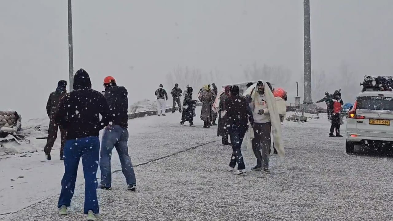
Season’s Biggest Snow Spell Likely in Next 24 Hours Across Kashmir Valley
Srinagar, Jan 22: Kashmir Valley is likely to witness the season’s biggest snowfall spell during the next 24 hours as a fast-moving Western Disturbance is set to impact the region, weather experts said on Wednesday evening.
According to weather observations, temperatures across Shopian, Kulgam, Budgam, Srinagar and several other parts of the Valley witnessed a sudden spike on Wednesday evening due to gusty winds. In many locations, temperatures jumped by 5 to 6 degrees Celsius within just 15 minutes, rising from around 2–3°C to 7–9°C.
Experts said the abrupt warming was caused by the brief intrusion of relatively warmer winds from the plains of north India, which temporarily disrupted the cold air pool over the Valley.
However, areas that remained calm and shielded from the winds continued to experience a gradual temperature decline, with readings largely hovering between 2–3°C.
Weather analysts said that while the warm winds are not favourable for snowfall at lower elevations in the short term, the situation is expected to change rapidly as colder air from the west and northwest replaces the warmer layer.
“This transition usually enhances cloud formation and precipitation, resulting in higher initial precipitation rates, followed by sustained rain and snowfall as colder air fully settles in,” an expert said.
At present, rain has been reported from parts of Uri and Poonch, while light snowfall has already begun in the upper reaches of the Valley.
The weather system is expected to intensify overnight, bringing widespread snowfall across Kashmir, with higher reaches likely to receive moderate to heavy accumulation.
(Kashmir weather )
Iran-Israel conflict: CBSE postpones class 12 Board exams till March 16 in Middle East
New Delhi: The Central Board of Secondary Education (CBSE) on Monday postponed the class 1…

Iran-Israel conflict: CBSE postpones class 12 Board exams till March 16 in Middle East
New Delhi: The Central Board of Secondary Education (CBSE) on Monday postponed the class …